
Follow the river on this beautiful route that runs north-south through Minneapolis.
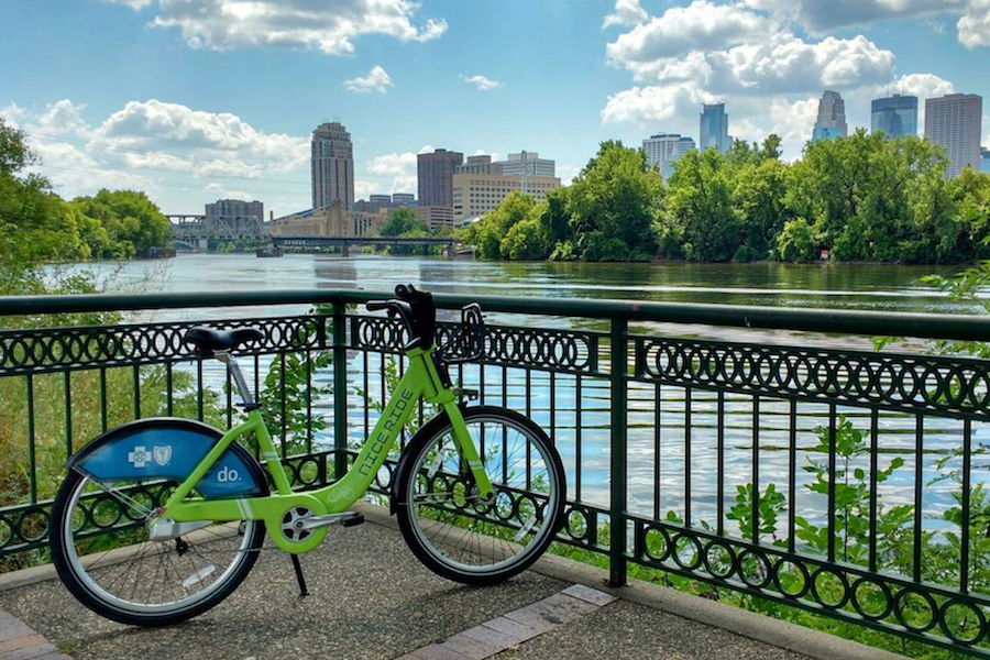
Check out the Nice Ride station map for additional locations and remember that the Single Ride and Day Pass are good for 30 minute rides at a time (one 30 minute ride, if you have a Single Ride pass; unlimited 30 minute rides in 24 hours for the Day Pass). Purchase a 30 Day Membership or annual membership to extend ride lengths to 45 minutes before accruing additional costs.
TIME: 1 hr 11 min
DISTANCE: 13 miles
A. Minnehaha Park
Minnehaha Falls, Longfellow Gardens, Sea Salt Eatery, and more are quick walks from our Minnehaha Park station.
B. Lake Street & West River Parkway
Refuel at restaurants and coffee shops nearby or ride across the Lake Street-Marshall Bridge for a great view of the Mississippi.
C. Bohemian Flats
Imagine the village that existed here a hundred years ago, and take a rest before pedaling up the hill (you can do it!). More views at the top!
D. Nicollet Island
There are 22 Victorian houses on Nicollet Island. Ride past some (or all) of them before taking the path to Boom Island.
E. Boom Island
End point for a Paddleshare route and site for multiple events throughout the summer. Heading north to Stop E, you’ll pass Sheridan Veterans Memorial which honors Minnesota veterans.
F. Marshall Street NE & Lowry Ave
You can refuel at favorite Minneapolis establishments in the neighborhood before crossing the beautiful Lowry Bridge.
G. North Mississippi Regional Park
Starting point for a Paddleshare route and home to the Carl W. Kroening Interpretive Center, NMRP hosts numerous programs and activities for visitors.
See the interactive map below for more information.